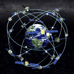
Today we each received a GARMIN etrex 20. We did some minor waypoints, both plotting and discovering. After the direct instruction of using the device, we went outside and did a "scavenger hunt". During the scavenger hunt, Danae and I also utilized some features of the GoPro Hero3. I learned that when creating the waypoint, I should place the GPS device directly on the item or location. I am excited to use this!!!
We also looked over a variety of maps. Some of the websites appeared to be incredibly useful and informative. With the plethora of maps that are available, it could be overwhelming trying to find the types of maps that would be beneficial or applicable to the classroom. I guess this is where the instructors/teacher s come into play. We look through the maps, decide which would be useful in the classroom, and share these with the students.
The brief introduction of GEOCACHING was informative, but barely touched the surface. In questioning about types of geocahing to do, I learned that there is a great app available on the iPhones. Sadly, only the Ed Techs are included in the purchase of this app. Good news is that as a "highly paid" teacher, I can easily afford this myself.
 RSS Feed